
European Recreation Map Coverage
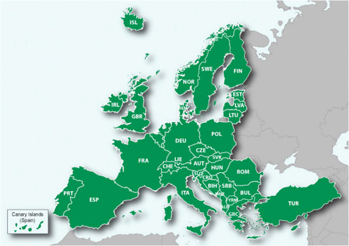
Countries covered:
- Albania
- Andorra (land use information incomplete)
- Austria
- Belgium
- Bosnia-Herzegovina
- Bulgaria
- Channel Islands
- Croatia
- Cyprus (does not include road network )
- Czech Republic
- Denmark
- Estonia
- Finland
- France
- Germany
- Gibraltar
- Greece
- Hungary
- Iceland
- Ireland (Republic)
- Isle of Man
- Italy
- Latvia
- Liechtenstein
- Lithuania
- Luxembourg
- Macedonia (FYROM)
- Malta
- Monaco
- Montenegro
- Netherlands
- Norway
- Poland
- Portugal
- Romania
- San Marino
- Serbia
- Slovakia
- Slovenia
- Spain
- Sweden
- Switzerland
- Turkey
- United Kingdom
England
Scotland
Wales
Northern Ireland
- Vatican City
NOT Covered:
- Azores Islands
- Belarus
- Madeira Islands
- Russia
- Ukraine
- EU territories in the Caribbean & Pacific
Details correspond to a 1:100.000 scale recreational paper map. Available for 48 countries across Western and Eastern Europe. Coverage detail varies depending on country. This map does not include any routing data and is unable to provide turn-by turn road navigation directions.
Source - Vir[/COLOR]
gmapprom.img info
Datoteka: /gmapprom.img, dolžina 2925002752
Naslov: 12.11.2012 10:13:25, DSKIMG, XOR 00, V 4.00, Ms 0, 006-D3297-01
Mapset: Recreation Map of Europe v4
fat: 1000h - 1200h - 100000h, blok 65536
zemljevidi: 401, pod-datoteke 1989
datum 08.11.2012 19:45:58
prioriteta 20, parametri 1 4 9 13, zaklenjen
Recreational Map Europe v4
Copyright 1995-2012 by GARMIN Corporation
Podatki MPS
F: PID 1, FID 2756, Recreation Map Europe


