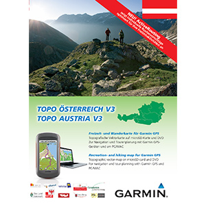
Izšel je nov topo zemljevid Avstrije
https://buy.garmin.com/shop/shop.do?pID=107969&pvID=108206
Citat:
Offers countrywide coverage on a DVD and preloaded microSD™ card
Offers ActiveRouting¹, which allows you to customize and specifically plan routes for the entire road and trail network. The activity specific map displays highlights of suggested routes in addition to dedicated biking and hiking routes
Includes searchable points of interest (POIs) for recreational activities and traveling
Shows 6,835 mi (11,000 km) of network cycling trails, 8,078 mi (13,000 km) of mountain bike tours and 14,913 mi (24,000 km) of network trail and hiking routes
Includes BaseCamp™ software that lets you plan trips on your computer and transfer routes and waypoints from your computer to your compatible device
¹ActiveRouting supported by BaseCamp on Windows/Mac and Montana™, GPSMAP® 62 and Oregon® x50 series.
Version: 3.00
Released: June, 2012
Part Number: 010-D1199-00
https://buy.garmin.com/shop/shop.do?pID=107969&pvID=108206